


DOUGLAS SOUTHWEST Voting District, Converse County, Wyoming
About
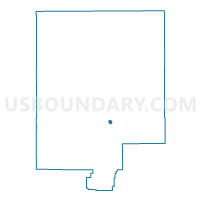
Outline

Summary
| Unique Area Identifier | 698560 |
| Name | DOUGLAS SOUTHWEST Voting District |
| County | Converse County |
| State | Wyoming |
| Area (square miles) | 1.38 |
| Land Area (square miles) | 1.27 |
| Water Area (square miles) | 0.11 |
| % of Land Area | 92.03 |
| % of Water Area | 7.97 |
| Latitude of the Internal Point | 42.75372400 |
| Longtitude of the Internal Point | -105.39802470 |
Maps


Graphs
Select a template below for downloading or customizing gragh for DOUGLAS SOUTHWEST Voting District, Converse County, Wyoming


Neighbors
Neighoring Voting District (by Name) Neighboring Voting District on the Map
- DOUGLAS COURTHOUSE Voting District, Converse County, WY
- DOUGLAS NORTHWEST Voting District, Converse County, WY
- DOUGLAS RURAL Voting District, Converse County, WY
- DOUGLAS SOUTH Voting District, Converse County, WY
- LA PRELE Voting District, Converse County, WY
- ORIN Voting District, Converse County, WY